Overview
The Maritime Link
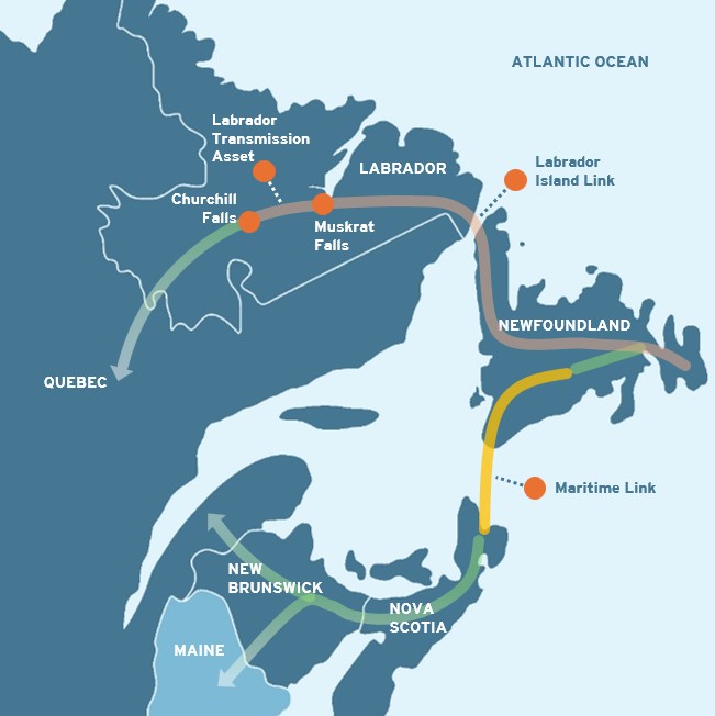
The Maritime Link delivers renewable electricity from Muskrat Falls in Labrador through Newfoundland to Nova Scotia. The link contributes to energy sharing and grid reliability in Atlantic Canada while also helping achieve provincial and national clean energy targets.

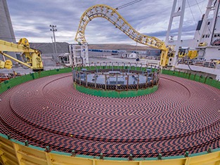
Longest subsea electric transmission cables in North America
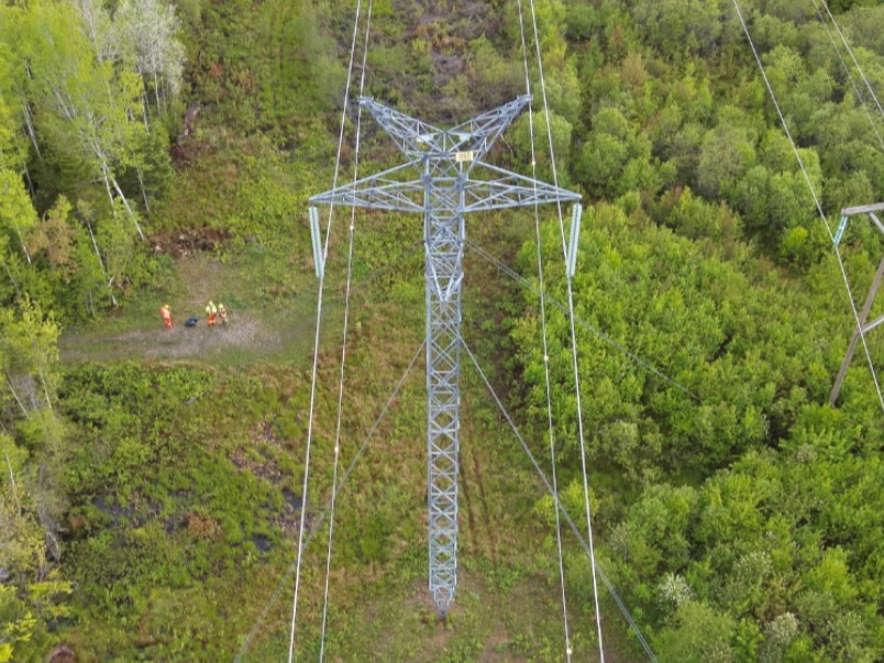
Extending over 500 kilometres, the Maritime Link includes: 2x ~170 kilometre subsea high-voltage direct current transmission cables; ~400+ kilometres overhead transmission in Newfoundland and Labrador and Nova Scotia; three switchyards; two converter stations and adjoining substations; two transition compounds and HDD sites; and two grounding sites.

Delivering for customers
The Maritime Link can supply about 20% of Nova Scotia’s total electricity. The submarine cables can deliver ~470 MW of energy. The link is also a critical part of Atlantic Canada's electricity infrastructure, supporting regional stability. By connecting the island of Newfoundland to the North American electricity system, the link gives Newfoundland and Labrador increased ability to sell and purchase energy.

Enabling government clean energy mandates
The Maritime Link has a critical role to play in enabling national and provincial clean energy mandates. The Government of Nova Scotia has set a target to achieve 80% renewable energy by 2030 and to be net-zero by 2035. The Government of Canada is also targeting a net-zero electricity sector by 2035. The federal government has identified inter-provincial transmission infrastructure like the Maritime Link as a critical enabler for Canada’s clean energy future.
Strengthening Atlantic Canada's grid

The Maritime Link enables the flow of hydroelectricity from the Muskrat Falls generating station in Labrador to Nova Scotia and beyond. Muskrat Falls was developed by Nalcor Energy (now Newfoundland & Labrador Hydro) along with the Labrador Island Link as part of the Lower Churchill Project.
Learn more about Newfoundland & Labrador Hydro’s generation and transmission assets
Timeline: Creating the Maritime Link
2011
Maritime Link project gets under way with Mi’kmaq and stakeholder engagement, environmental studies, surveying, pre-engineering and design work.
2012
Emera, Nalcor (now Newfoundland and Labrador Hydro) and governments of Nova Scotia and Newfoundland and Labrador sign formal agreements for the development and transmission of hydroelectric power from Muskrat Falls.
2013
Environmental assessment release for the Maritime Link.
Nova Scotia Utility and Review Board (UARB) approves Maritime Link project.
2014
Federal Loan Guarantee announced, saving Nova Scotia electricity customers e approximately $325 million over the life of the Maritime Link Project.
Major contracts awarded for subsea cables and converter stations.
Construction begins, community engagement continues.
2017
Submarine cables successfully installed and construction completed at all sites.
Commissioning and the first successful energy exchange over Maritime Link.
2018
Maritime Link is in service, January 2018.
Maritime Link project completed on time and on budget.
2021
Nova Scotia Block of clean energy from Muskrat Falls commences.
2024
As part of integrated testing with Newfoundland & Labrador Hydro, the ability of the electrical grids in Newfoundland and Nova Scotia to transfer 500MW continuously over the Maritime Link is demonstrated.
Regulatory
The Maritime Link is regulated by the Nova Scotia Utility and Review Board (NSUARB). To read detailed filings and decisions related to the Maritime Link, please visit the NSUARB website to review Hearings & Decisions or Matters & Evidence. The highlights of key and current filings are provided below.
Regulatory Highlights
M05419 2013 NSUARB Maritime Link project approval decision - including information about the project’s commercial agreements
Open Filings
To access open filings, go to the NSUARB public documents database and enter the matter number in the search field (e.g. M12345) shown below:
- M12394 - 2026 Annual Assessment
- M12285 - Capital Application (Cable Protection Project)


